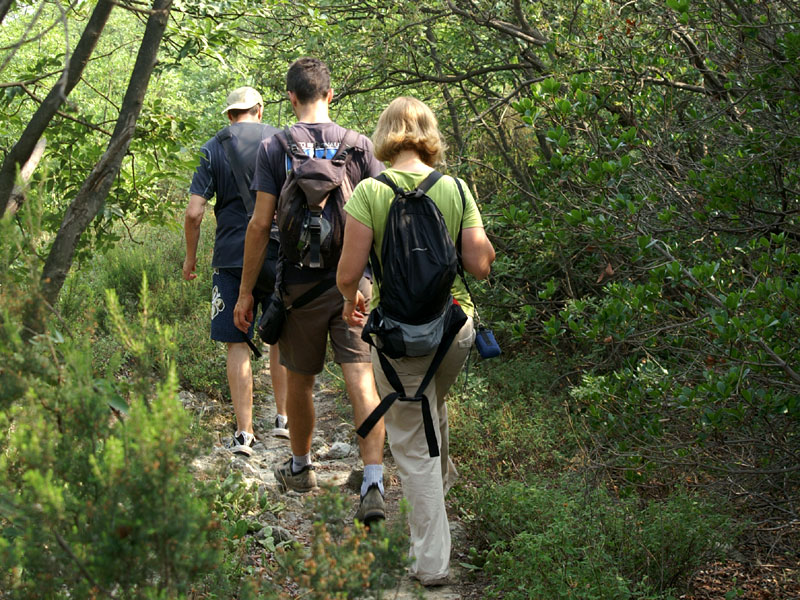
On foot
A thick networks of trails goes through the Park area.
The official footpaths are described, one by one, with a brief technical map in PDF format and traced on an Open Street Map basis. The Park Authority has recently provided precise georeferencing of the trails and their main points of interest, including rest areas, benches and information boards. Every detail can be accessed via the map and its navigation menu below. We would like to remind you that for many trails there are also brochures, that can be obtained at the Park Headquarters and at Casa Marina Visitor Centre, while supplies last.
The Parks Map with trails' position


Difficulty Level: E - Hiking (level)
Duration: 2 h 30 m

Difficulty Level: EE - For expert hikers
Duration: 12 h

Difficulty Level: E - Hiking (level)
Duration: 1 h

Difficulty Level: E - Hiking (level)
Duration: 1 h 30 m

Difficulty Level: T - Tourist (level)
Duration: 1 h

Difficulty Level: T - Tourist (level)
Duration: 1 h

Difficulty Level: E - Hiking (level)
Duration: 1 h 30 m

Difficulty Level: E - Hiking (level)
Duration: 1 h

Difficulty Level: E - Hiking (level)
Duration: 1 h 30 m

Difficulty Level: E - Hiking (level)
Duration: 1 h 30 m

Difficulty Level: EE - For expert hikers
Duration: 4 h 30 m

Difficulty Level: E - Hiking (level)
Duration: 1 h 30 m

Difficulty Level: E - Hiking (level)
Duration: 1 h 30 m

Difficulty Level: EE - For expert hikers
Duration: 5 h 30 m

Difficulty Level: T - Tourist (level)
Duration: 1 h

Difficulty Level: EE - For expert hikers
Duration: 2 h

Difficulty Level: E - Hiking (level)
Duration: 1 h

Difficulty Level: E - Hiking (level)
Duration: 1 h

Difficulty Level: T - Tourist (level)
Duration: 1 h 30 m

Difficulty Level: T - Tourist (level)
Duration: 2 h
Individual trail descriptions are taken from the book "Guida dei Colli Euganei - La storia, l'arte, la natura, il paesaggio" by Francesco Selmin, published by Cierre Edizioni, 2009.


