No 4 - Mt. Venda Trail "G.G.Lorenzoni"
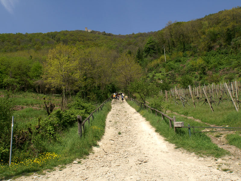
Trail G.G.Lorenzoni on Mt. Venda
(photo by: PR Colli Euganei)
 Download KMZ
  Download in GPX format
en
Heading on, you’ll come across a clearing outside an old charcoal kiln. After a straight stretch of road, you’ll reach a rocky crag where, thanks to the abundance of sunlight, you’ll come across plant species typical of Mediterranean scrubland, such as sage-leaved rock-rose, dittany and wild asparagus. You’ll then come across a recess and another rocky crag. From here, the road starts sloping downhill towards a clump of black alder trees, typical of damp habitats. There once was a charcoal kiln here known as the Carbonile Dea Busa Dei Onari.
The path continues gently uphill, runs over a hump and then widens into a clearing supported by trachyte boulders, just before coming across a large mountain maple tree. Just after that, a short rocky stretch of road starts climbing uphill. You’ll notice a large boulder above you: Pria de Scanavaca. The valley below it is littered with the dens of foxes, badgers and stone martens. The chestnut woods end near a small cliff of rhyolite scree, which then gives way to black locust and elder trees. You turn left into the cool, damp northern slope of the hill.
Continuing along the path, the undergrowth becomes more varied and lush, and after having gone past a fork in the road that heads downhill towards Roccolo on the right, you turn left at the top of the knoll. A short strenuous climb leads to a detour to see the ruins of the Olivetan Monastery; you then continue downhill. After having walked past two park benches, you keep walking downhill and then, after a short stone-paved stretch of footpath, you end up on the army road that climbs up to the disused Castelnuovo air base. You walk along a stretch of tarmaced road up until the first bend, then you leave the road, continuing on the right along a lane that leads to Casa Brombolina. After a bend in the road, take the detour that leads down into a valley and then climbs back up into a forest of black locust trees and joins your original trail. Following along the edge of the army base, you’ll reach the top of a ridge with a trail that rises and falls and, having crossed a damp valley, starts climbing uphill. At the crossroads, take the left-hand path that climbs uphill. You will reach a stony terrace known as the Carbonile del Corno and you’ll end up on the sunny edge of Corno del Venda. The path now crosses over onto the southern slope of the hill, which boasts a wealth of Mediterranean trees and plants. The trail starts climbing again and then levels out across the hillside with a path offering beautiful scenic views. You’ll enter an area of mixed woodland and you’ll end up following the fence of the old army base once again. Walk downhill till you come across a wider path that climbs up the ridge to the south-east from the Fontane area. The trail now runs downhill along the power line terrace, it winds along three close bends and crosses the detour that climbs to the ruins of the monastery. Here it leads to a row of chestnut log steps that lead down to the beginning of the trail.


