No 9 - Mt. Venda Trail


- Departure: Loc. Sottovenda - Galzignano Terme (Galzignano Terme)
- Arrival: Galzignano Terme
- Duration: 2 hour/s
- Difficulty Level: T - Tourist (level)
- Length: 5.7 km
- Difference in height: 50m
- Involved Municipalities: Cinto Euganeo, Galzignano Terme, Vo'
- Show the map
The trail starts off in Via Sottovenda near the Regional Park of the Euganean Hills’ recently refurbished Casa Marina visitor centre and nature education lab; the path is a dirt road that climbs gently uphill with large bends and an open landscape that looks out onto vineyards and cherry trees. On the right, towards the top of Mount Venda, the ruins of the ancient Olivetan monastery stand out. Ignoring the detour for the G. G. Lorenzoni trail on the left, keep walking along a fence where the path remains wide with scenic views of Mounts Marco, Fasolo, Gemola, Rusta and Lozzo while, looking towards the valley, you’ll glimpse the village of Faedo.
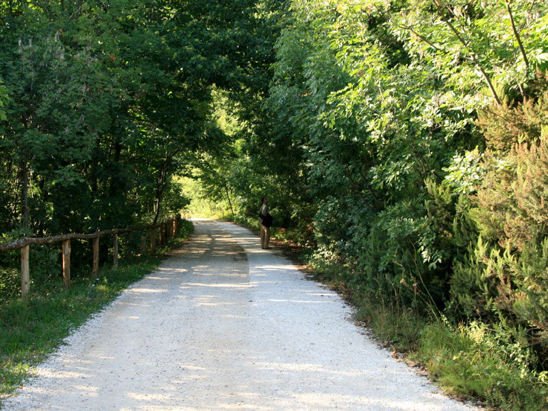
Trail of Mt. Venda
(photo by: PR Colli Euganei)
 Download KMZ
  Download in GPX format
en
A parking area near a small clearing surrounded by chestnut trees is the last chance that motorised vehicles have to park and marks the beginning of the path specially set up for those with impaired motor skills. Once past the gate, on the edge of an interesting white oak forest, you’ll see some splendid examples of tree heather. After having gone past a fork in the road on the right that leads to a picnic area near a large area of scree on the southern slope of Mount Venda, keep walking till you get to another clearing featuring broom and arbutus trees. Along the edge of the trail, the woods consist of white oak and ash trees, while chestnut trees dominate the interior where the woods are denser.
You leave the woods at a gate, next to which you’ll notice the first marron chestnut tree. In front of you, in a landscape dotted with woods and vineyards, you’ll see nearby Mount Vendevolo. Winding among houses and an olive grove, the path soon reaches a large clearing where majestic, centuries-old marron chestnuts tower over their surroundings.
Immediately after, you’ll see a valley on the right where a marsh area forms after heavy rain, a spot that is interesting from an environmental point of view. Keeping to the right, you pass a number of hornbeams till you enter a thick chestnut forest. At the first fork in the road, you turn right once again. Here the path is edged by a fence and is slightly uphill. After a brief stretch, you’ll reach the clearing outside a former quarry surrounded by chestnut trees, ash trees and hornbeams, where there is a picnic area. Going back along the path, you end up at the start of the trail.


