No 29 - Cava Monte Croce and Creste Trail


- Departure: Loc. Ex Cava Monte Croce - Battaglia Terme (Battaglia Terme)
- Arrival: Loc. Ex Cava Monte Croce - Battaglia Terme (Battaglia Terme)
- Duration: 3 hour/s
- Difficulty Level: Hiking trail with a stretch for experts, and an equipped path on rocks, on Mount Ceva
- Length: 2.9 km
- Difference in height: about 250 m
- Involved Municipalities: Battaglia Terme
- Show the map
The walking times are calculated for a trained hiker, they may vary depending on your preparation and specific interest of the features of this trail.
Reaching the point of departure
From Padua or Monselice, reach Battaglia Terme and follow the signs to Galzignano Terme. You can park your vehicle near the path’s point of departure, by the entrance of the former quarry of Monte Croce.
Characteristics
Length of the Creste trail: 5,4 km
Length of the itineraries on the former quarry of Monte Croce: 2,7 km
Recommended period for the visit: throughout the year, especially in the spring and autumn

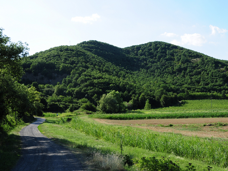
View of Monte Croce
(photo by: PR Colli Euganei)
 Download KMZ
  Download in GPX format
en


