Parco Regionale dei
Colli Euganei
Parco Regionale dei
Colli Euganei
- Fauna project
- SPA Management Plan
- Olive oil
- Honey
- Chart for Organic Agriculture
- Biodistrict of the Euganean Hills
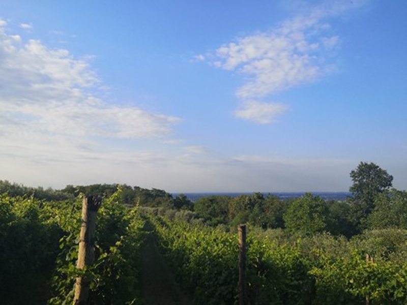
- Vineyard and Olive tree Conservation Area
- Tastes of the Park
- Logo of the Park
- Insights and Media
- Picnic areas
- Travel ideas
- Friends of the Park
- Newsletter
- Press review
- Downloadable maps
- Regulations and enjoyment of the territory+
- Regulation on edible mushrooms picking
- Regulation on wild herbs picking
- Use of trails and picnic areas
- Structure of the Authority
- Staff and offices+
- Forms
- Forms
- Forms
- Works and activities subject to authorisation
- Forms
- Founding Act and Environmental Plan+
- Founding Act
- Environmental Plan
- UNESCO MAB Biosphere Reserve Application
- ECST
- Wild boar and ungulate management
- PAR-FSC Projects
- POR - FESR Projects
- Partnership with Universities
- MoSVit Project
- Transparent administration
- Forms
- Notices and warnings
- Competitive exams, announcements, calls for bids+
- Administrative acts
- Technical maps+
- Environmental Plan
- Woods
- Priority habitats
- SPAs
- Links