Trail of Carabinieri - R3

Trail of Carabinieri - R3
(photo by: Archivio Parco)
 Download KMZ
  GPX
GPXen
After another 200 meters you can admire Villa Egizia on the right.
After just a few steps, follow the trail markers “R3 - R4” and turn left on to a downhill path immerged in the vegetation that will climb back to Pianoro Spinazzola(Spinazzola Plateau).(2)
The trail will end at “Crosara del Capitello”, on a paved provincial road that leads from Rovolon to Montemerlo.
Then turn right, walking downhill along a paved cycle path.
After about 300 meters, now on the plain, to the right you can see what remains of industrial archeology, now almost completely covered by vegetation: a base of a silo and a wall belonging to the old quarry Italcementi, where fragments were extracted and brought to the cement factory. Just afterwards you can see on the right the house “Casa Gialla” and on the left Frassanelle Golf Club with its green.
Further ahead, always on the left, just below street level, you can see “Fontana delle Grotte” (fountain of the caves) with its stone arch.
About 150 meters ahead, turn right onto Via Rialto. On the left you will see two old limekilns (Forni de Quaiato).
At this point the path gently inclines uphill along Via Rialto. After 400 meters you find “Calto de Marin”, near a lawn fenced with wire mesh.
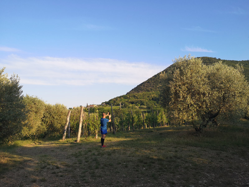
The path goes up to Colle Mottolo and once you get to the top of the hill you can enjoy an expansive view of Monte Grande. Here the trail gets flat and you will walk among the olive trees and the typical vegetation of the Euganean Hills. You will then get to a crossroad: turning left you will follow the trail R5, in the direction of “Capitello del Monticello”. If instead you walk towards the right, you will find yourself back at Villa Egizia, and the trail loop will end. From there you can go back to the former Rovolon schoolhouse, where you parked the car.
1. On the right you can see a “calto”, a rain-fed stream that once was passing under the bridge called “Ponte della calcara”, now covered by the provincial road.
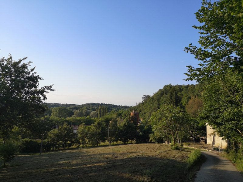
2. Once you reach the bottom of the walkway, stop and turn 180 degrees so that you can enjoy the view of the town of Rovolon, situated between Monte della Madonna on the right and Monte Grande on the left; turning then to gaze back at the valley, look down eastward along Monte Grande and you will see Monte Monticello, followed by Monte Mottolo, behind which rises Monte Mattello. In the background you can see the hill of Montemerlo and further down Colle delle Frassanelle with Villa Papafava on top and the golf club, extending westwards to Monte Sereo; lowering your gaze then to the valley, you will find the town of Bastia and Monte Viale. In the background stands the chain of Monti Berici.
Continuing with your gaze towards Monte della Madonna, you can see Monte Castellaro, between the foothills of Monte della Madonna towards Carbonara and the place where you are.

Trail of Carabinieri - R3
(photo by: Archivio Parco)


