Trail San Giorgio - R2

Trail San Giorgio - R2
(photo by: Archivio Parco)
 Download KMZ
  GPX
GPXen
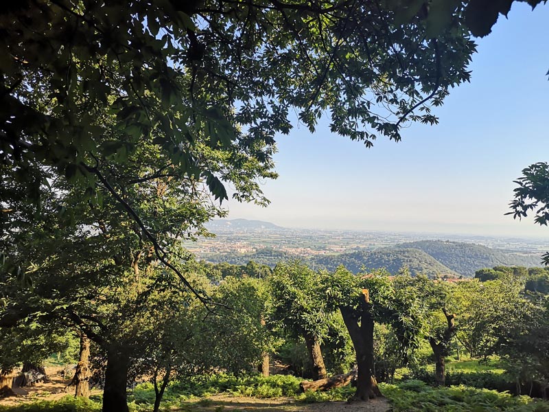
After about 200 meters there is a crossroad: keep to the right and continue walking on the flat path. On the left, there is a house with a very nice panorama.(1)
At a certain point the path climbs for a short stretch and at the end of the climb it returns flat.
Here the rocks come alive: observing them you can discover some sculptures made directly on the boulders by Alfredo Barbiero, a well-known local artist; there are several faces along the 200-meter path.
After about 100 meters the path leads you to the fourth bend of the “Strada de Bepi del Monte”.(2)
After four bends take a right towards the “fire-lane”, constructed some years ago in order to respond promptly to fires.
Continue on the flat path to Baita di Passo Fiorine (Fiorine Pass lodge).(3)
After about 1500 meters from the fire-lane and about 100 meters before Baita Passo Fiorine, take a right on the path that goes down to Rovolon.
After about 300 meters, on the left, there is a path called R6A.
Follow it for about 100 meters. You will then get to a small opening where, with a few steps into the woods, you can see a large stone called “Pria del Calcagno” (heel stone): a local legend asserts that the Madonna sat there, leaving a footprint of her heel. Continuing along R6A for about 200 meters you can climb to a panoramic point called "La crose” (The cross), that is like a terrace above the village of Rovolon.(4)
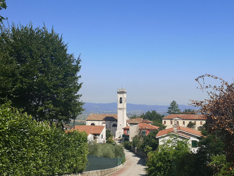
Continue to descend, then immediately on the right you can climb a little hill where the ruins of an old castle appears, which is of a great historical-archaeological interest. Return to the main path and after a few steps, you will find an old water tank called “El Fontaneo” that once served as the village’s water reserve. No long after that, we arrive at the restaurant "Ai Castelli" from which we then descend towards the church, returning to the starting point.
1. �In the background, behind this house, you can see Frassanelle Park with Frassanelle Golf-Club and, further on, the villages of Cervarese, Montegalda and Montegaldella; further away the Venetian Pre-alps.
2. �This is a road that, starting from the mainstreet Rovolon - Teolo, leads to the top of Monte Grande and then to Passo Fiorine. This road, built around 1962-63 by a construction company to subdivide Monte Grande (a project not completed), has become a path for walking and mountain biking.
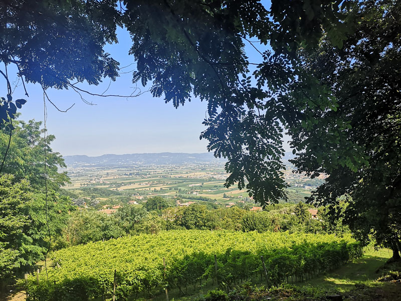
3�. From this path, in winter, when the trees are bare, you can enjoy beautiful views of the Venetian plain to the north and east of the Euganean Hills
4�. From here you can admire a spectacular panorama: from the left the Berici Hills with Albettone and the Convent of San Pancrazio, then Bastia surrounded by the Monte Viale, Monte Sereo, Frassanelle and Spinazzola; behind the Prealps and the peaks of the Alps, then the Castle of Montegalda and the city of Padua.
Trail San Giorgio - R2
(photo by: Archivio Parco)
Trail San Giorgio - R2
(photo by: Archivio Parco)